// 2018 · tech
GeoTech Masterclass: GeoData Visualisation
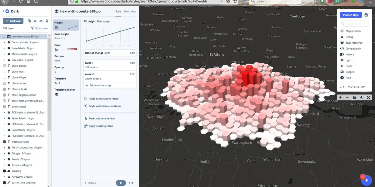
Learned how to use QGIS to load a map and visualise data above it over nearly three hours.
The grimoire opens...
// 2018 · tech
Learned how to use QGIS to load a map and visualise data above it over nearly three hours.
// establish_link
Open to collaboration, conversation, and new opportunities. Whether it's tech, beer, community, or creative work - feel free to reach out.
professional:sean@inevitableteam.com
camra.cider:cider@northwest.camra.org.uk
camra.ym:ym@greatermanchester.camra.org.uk
camra.chair:chair@centralmanchester.camra.org.uk
camra.press:press@centralmanchester.camra.org.uk
personal:seanomahoney@protonmail.com